Insight from
the Sky
Explore Conserve Engage
Using Drones and Remote Sensing to Provide Insight from the Sky
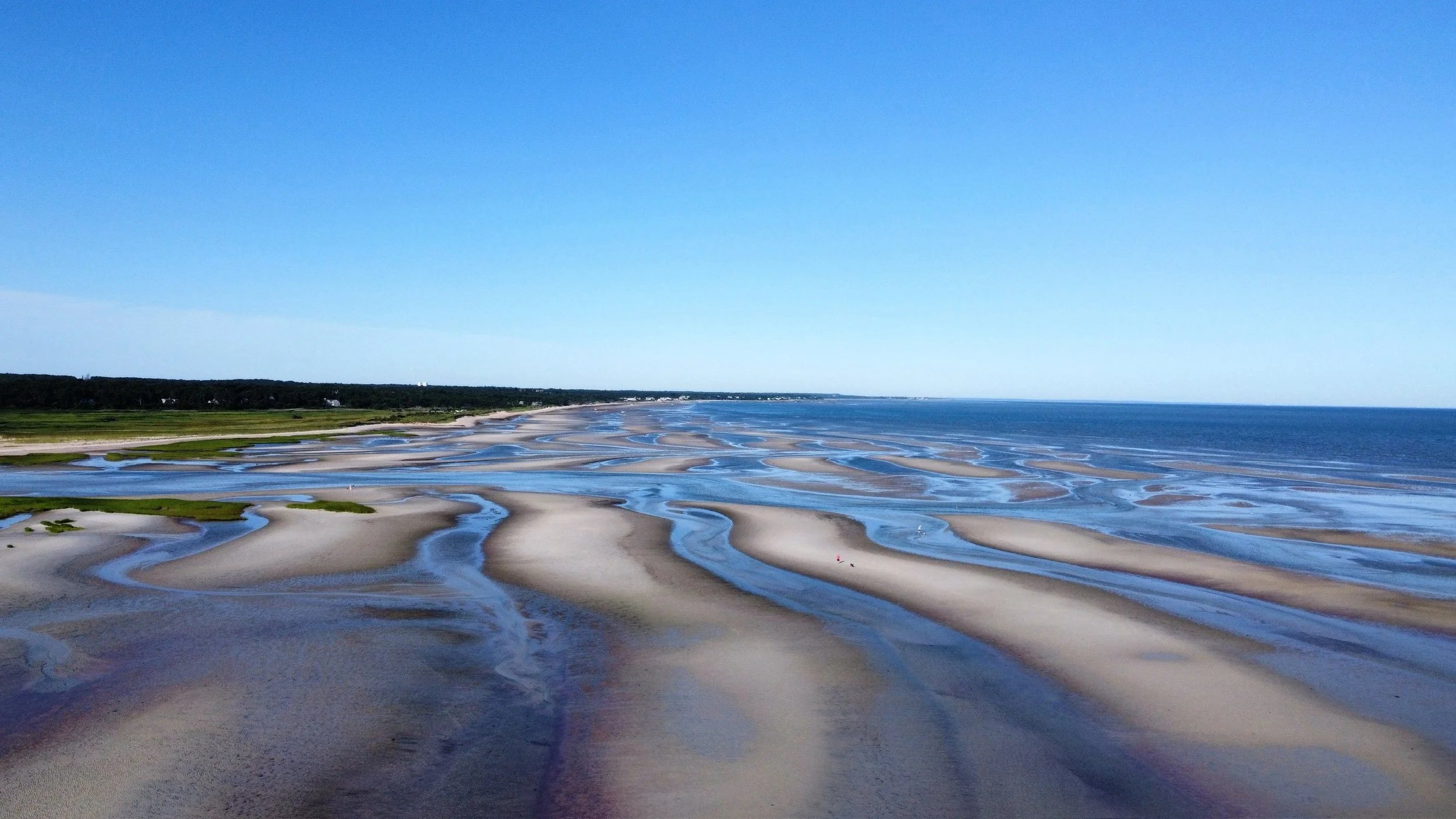
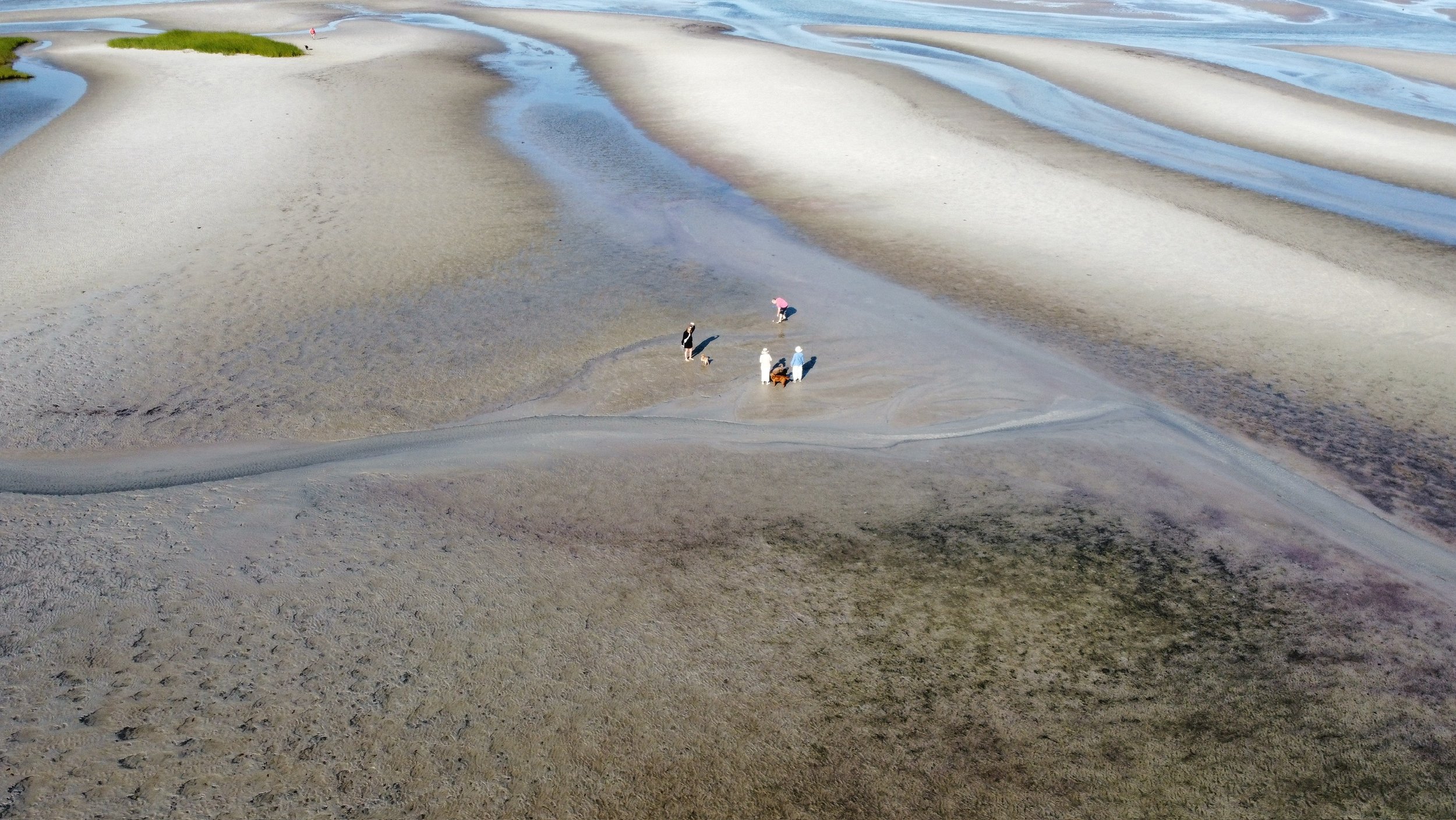
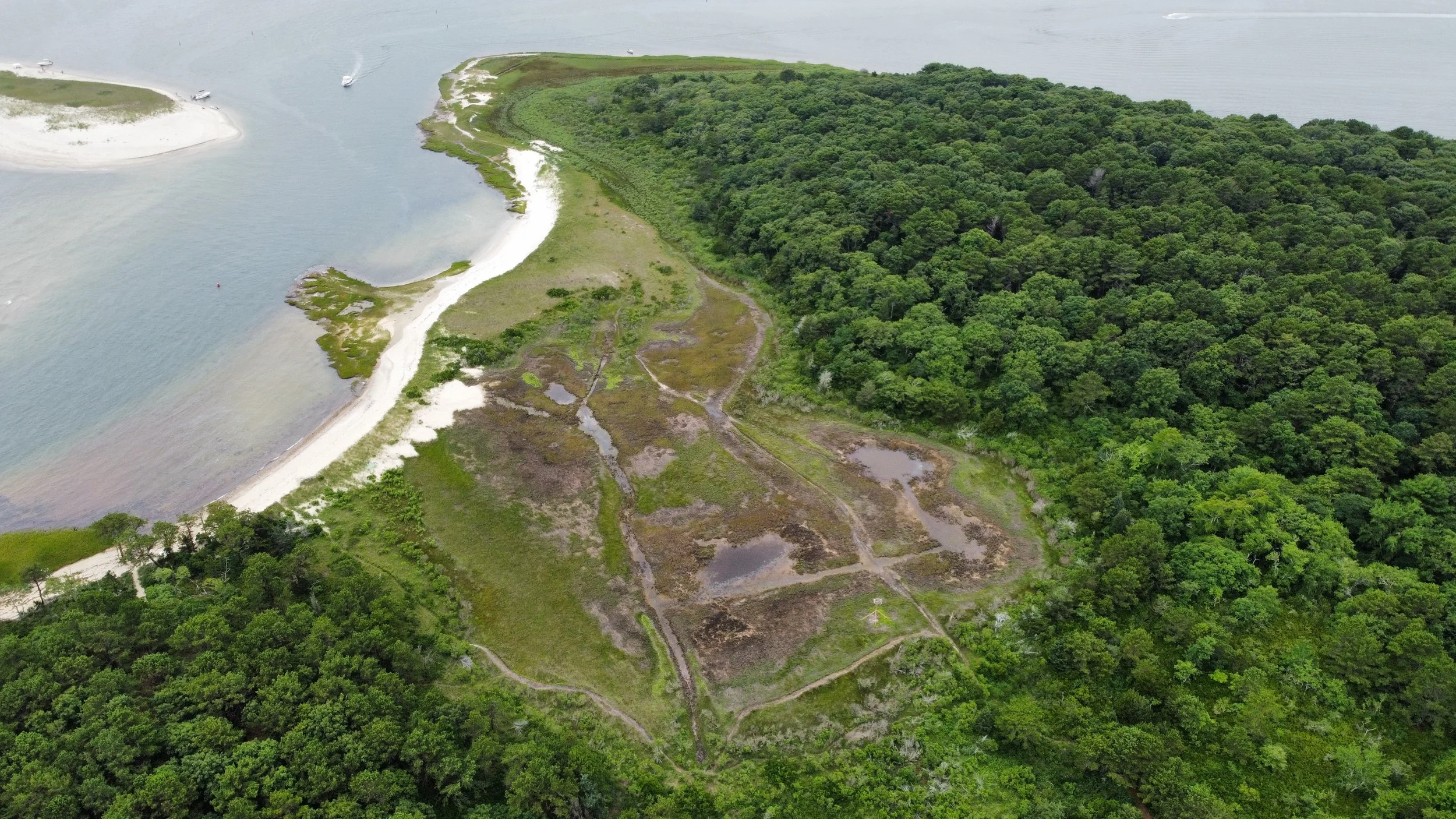
Remote Sensing is the use of satellites and drones to analyze and understand land from space and the sky.
Why is this important?
This insight reveals hidden patterns and tells compelling stories to empower conservation, land management, and humanitarian projects.
How can it help?
Aerial visuals can powerfully communicate the value of conservation, showing the scale, beauty, and ecological importance of protected lands.
-
About
-
Conservation Portfolio
-
Aerial Photography