Frequently Asked Questions
What is InSkyte?
InSkyte is a platform I created to share my drone imagery, mapping work, and conservation experiences. It serves as both a personal portfolio and a way to support organizations that use aerial insight to protect and understand the environment.
What does the name InSkyte mean?
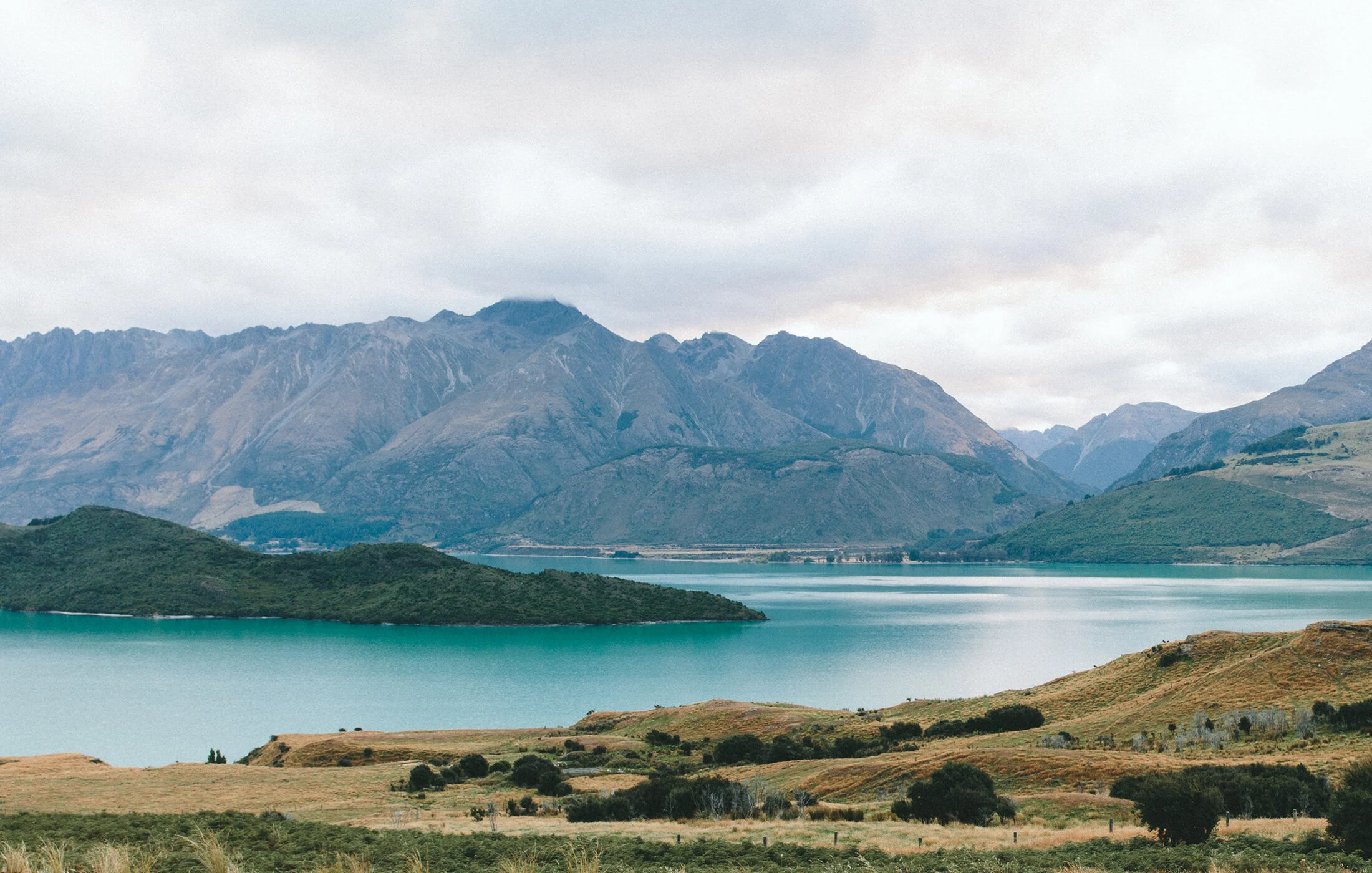
The name InSkyte is a play on the phrase “insight from the sky.” It reflects how much a shift in perspective can change our understanding of a place. On one of my first shoots with the Barnstable Land Trust in Barnstable County, Massachusetts, I spent nearly an hour walking through dense woods, disoriented and unable to see beyond the trail ahead. When I finally launched my drone above the trees, the entire landscape came into focus. I could see the coastline, the protected meadows, farms, bogs and golf courses. That moment is what inspired InSkyte. An aerial view can reveal what’s hidden, make sense of complexity, and see how every piece of land connects to a larger story.
Who operates InSkyte?
InSkyte is led by me, Jackman Grossman, a student learning how to combine technology and environmental science to create aerial imagery, maps and data visualizations for conservation groups and land trusts.
What kind of training do you have?
I earned my FAA Part 107 Commercial Drone License, mastering 120+ aviation principles across airspace, weather, performance, and operations and applied aeronautical math.
That means all aerial operations comply with FAA Part 107 regulations. I plan my flights using official airspace data, check environmental conditions, and apply GIS-based ground control points to ensure spatial accuracy and professional-level results.
Do you charge for your services?
Right now, my work is done completely on a volunteer basis. Each project contributes to environmental causes while helping me learn about conservation challenges and how different communities take action on issues like coastal erosion, habitat protection and sustainable land management.
Can other organizations collaborate with InSkyte?
Yes. I am always open to partner with conservation groups, schools, and nonprofits seeking aerial photography or mapping for environmental storytelling, stewardship, or data collection. Collaboration inquiries are welcome through the Contact page.